
Nuestros socios viajan
Ilimitadamente
a precios preferenciales
— BENEFICIOS —

COMO TENER
TU "PROPIA"
AGENCIA
DE VIAJES
Nuestros suscriptores son “dueños” de su propia agencia de viajes, tienen todos los beneficios que esta brinda, además de un portal web que está activo las 24 horas del día, los 365 días del año a un precio preferencial y lo mejor de todo es que no pagan todos los gastos que conlleva tener una agencia de viajes.
Disfrutarán ilimitadamente de noches hoteleras, tours nacionales e internacionales, hoteles desde 3 estrellas hasta 5 estrellas de lujo, resorts todo incluido, departamentos vacacionales, vuelos, renta de autos, seguro de viajes, y todo lo necesario para sus viajes, sean estos por placer o negocios a precios de mayoristas.
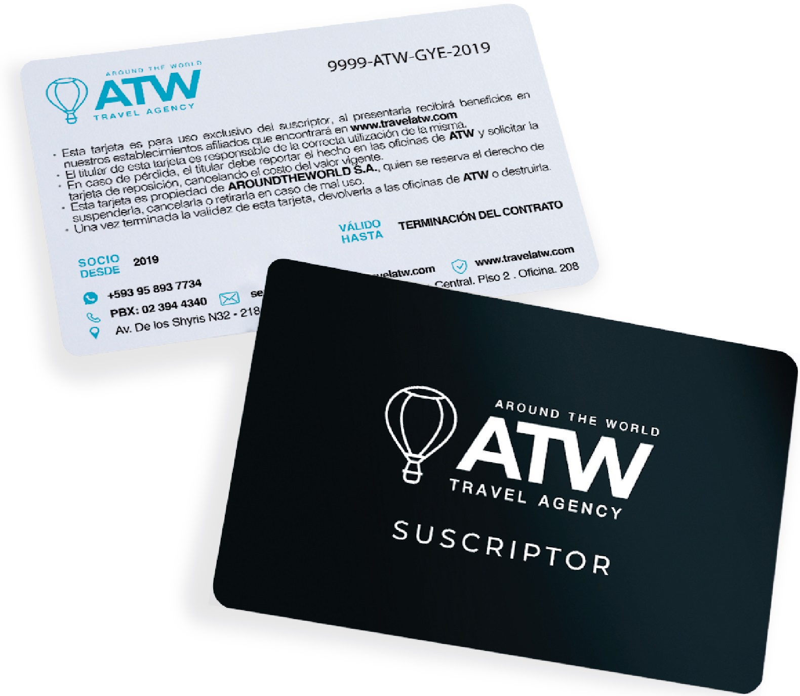
"TARJETA SOCIO"
SUSCRIPTOR
Nuestros suscriptores recibirán una tarjeta de socio que al presentarla obtendrán un 5%, 10%, 15%, 20% o hasta el 50% de descuento y muchos más beneficios que le brindarán todos nuestros locales afiliados a nivel nacional.
Si deseas ser parte de esta exclusiva familia de Locales Afiliados - comunícate al: 023 944 340
— EXPERIENCIAS —

ANDRÉS GALLARDO
BW CPlaza - QUITO
En el hotel Best Western CPlaza hemos tenido una grata experiencia al trabajar en conjunto con Around the World S.A, los beneficios que se brindan a los clientes ha hecho que la experiencia de nuestros huéspedes sea muy atractiva. Consideramos a Around the World S.A. como un aliado estratégico dentro de los servicios que ofrece nuestro hotel por su seriedad y compromiso hacia el cliente.
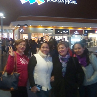
MAGDALENA VANEGAS
LIMA - PERÚ
Somos un grupo de amigas que nos hemos propuesto viajar por los mejores países de América y para poder hacerlo hemos buscado la mejor alternativa en agencias de turismo que brinden un excelente servicio en comodidad, preocupación hacia el cliente y confianza para poder viajar y disfrutar del tour como lo hizo Around the World. En Lima la pasamos increíble.
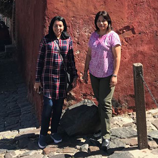
EVELIN Y MAGDALENA
COLONIA - URUGUAY
Se contrató el viaje con ATW a Uruguay y nos armaron una agenda conforme a lo solicitado, visitamos Colonia de Sacramento, Montevideo y Punta del Este. Todos los sitios nos encantaron, desde la infraestructura de las ciudades, sus paisajes y playas, hasta lo más importante que es su gente, personas muy amables y con guías turísticos bien capacitados que te invitan sin mucho esfuerzo a volver. La última actividad que hicimos fue visitar el Milongón, disfrutamos los bailes típicos del Uruguay y al final los asistentes terminamos siendo parte del show. Es un viaje recomendado!

ÁNGEL CASTRO
GALÁPAGOS
Una experiencia única junto a mi familia en Galápagos, disfrutamos de la diversidad de animales y naturaleza, este viaje fue organizado por mi agencia de viajes Around the World a la que estoy suscrito.